

About Dr Design India
We are pioneer in advanced mapping, survey and geospatial services.
Dr. Design Pvt. Ltd. , a strong foundation that spans almost more than three years, we provide a wealth of experience in providing expert services and business process consulting. Utilizing state-of-the-art technologies like Workday, SAP SuccessFactors, UKG Dimensions, UKG Central, UKG Ready, UKG Pro, and others is our primary objective. We take great satisfaction in our ability to offer customers customized solutions and strategic direction so they may successfully enhance their operations and meet their business goals , Further we are ISO 9001:2015 certified, with a focus on advanced mapping, surveying, and geospatial services....
Read More Contact Us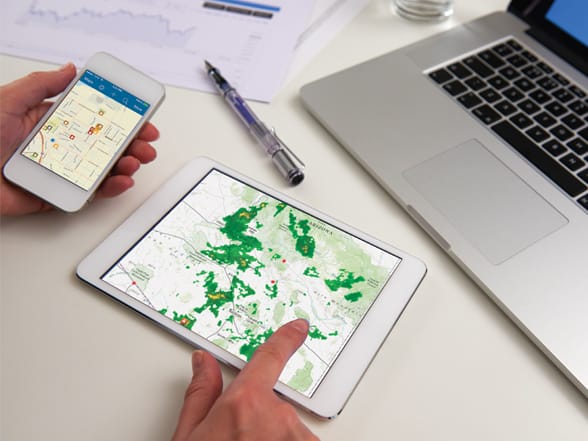
Mission/Vision
Data is at the core of what we do and we endeavour towards infusing accurately measured and calibrated data in your company’s business that can help you take crucial data driven decisions.
We love providing solutions. You could be a telecom service provider having assets such as fibre cables underground or an owner of underground oil pipelines, and need to accurately measure and map such critically located infrastructure. Or you could be a business owner wanting to locate the most strategic place for your new start-up or business chain based on population density- We take care of all your location based needs, of any size and complexity.
Quality Of Work Delivered
With an experience that sweeps over 5 to 6 years, we have turned on some of the most challenging tasks and helped our clients’ measure and manage geospatial data vital to their establishment.
Our crew of professionals is immensely skilled at data mapping and analytics and employ state –of–the art hardware and software applications in order to measure and manage accurate data and develop utility based software applications.
Why Choose Dr Design India
- At Dr Design India, solutions are delivered using cutting edge data-driven technology with an immense focus on innovation and quality- helping you stand ahead in the industry.
- We offer geospatial services for the full lifecycle of your facility- from inception to completion.
- With its offices in India, Australia, Middle East, and the US, Dr Design India stands out as a truly globalized organization.
- We deliver a comprehensive portfolio of services ranging for numerous verticals viz.Oil and gas, mining, environmental sector, land administration, emergency response, aviation and much more.
- We are home to a dedicated and immensely skilled crew of professionals, known for their unequaled experience and technical expertise.
- Data is not just gathered- but assembled, assessed and analyzedby feeding it into intelligent information systems.
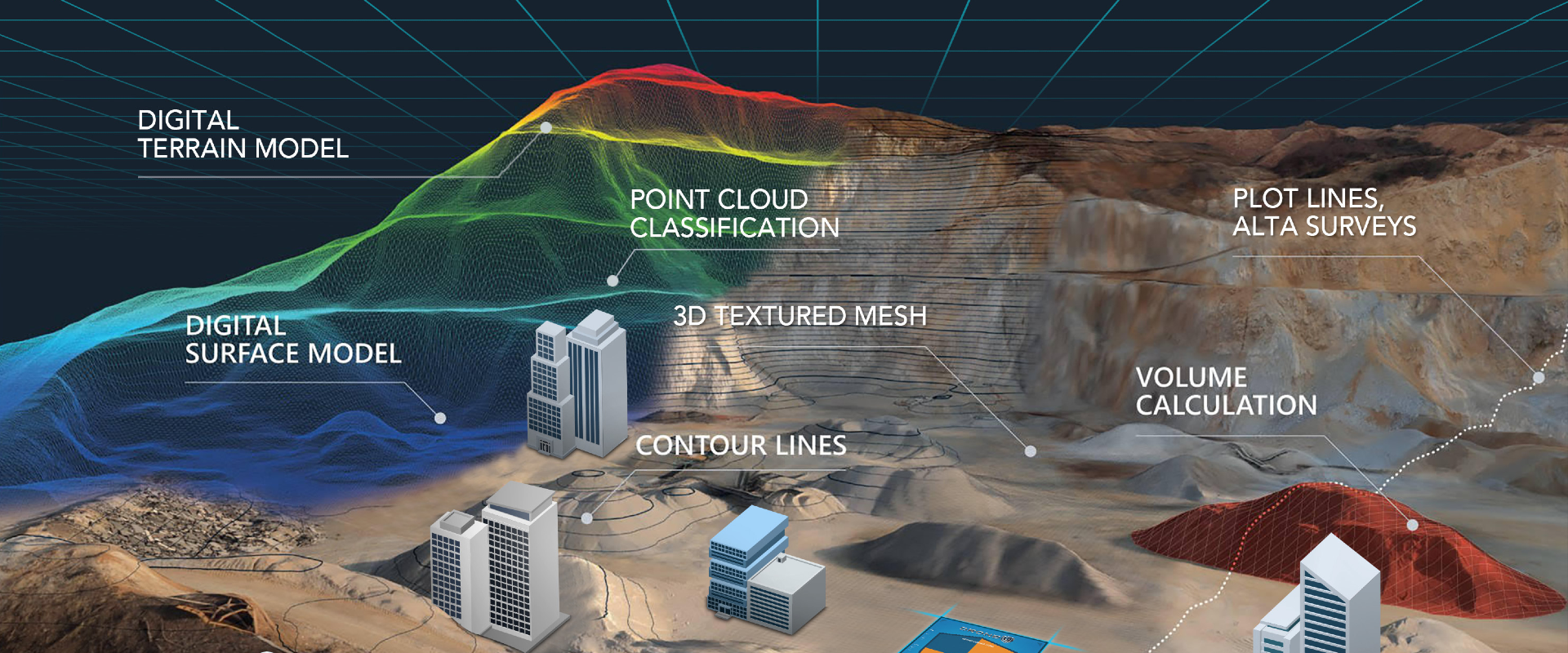
- We are one of the few firms operating LiDAR and large format digital aerial cameras.
Our Services
Professionally mesh enterprise wide imperatives without world class paradigms.Dynamically deliver ubiquitous leadership awesome skills.
.jpg)
PHOTOGRAMMETRY
Dr Design India endeavors to provide low-altitude high-definition imagery.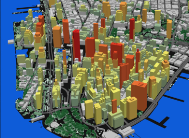
Geographic Information System (GIS)
We are an Independent GIS System Integrator and focuses on end to end offerings in geospatial information services.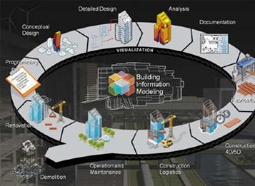
Building Information Modeling(BIM)
Dr. Design India offers scan-to-BIM 3D modelling services to create sophisticated 3D models of the data from laser survey and point cloud.
Surveys
At Dr. Design India, surveying is done for the trickiest sites with a team of in-house surveyors, engineers and regulatory staff.
Human resource outsourcing service
Dr Design is capable of providing Human resource of various capabilities to government and private sector companies across the country.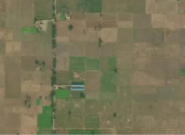
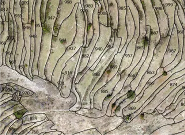
Crop Management
- Farm Slope Details
- Farm Water Management
- Soil & Moisture Conservation
- Water Table Management
- Crop Insurance Solutions
- Weather Information Integration
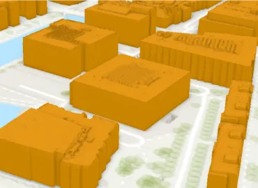
Smart City & Urban Mapping
- SMART City Mapping/GIS-Aerial & Mobile LiDAR
- Property Tax Management
- City Data as a Service
- Address Management
- Feature Extraction
- City Utility Asset Management
- 3D Building Footprint Mapping
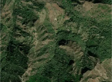
Forest Management
- LiDAR Survey of Forest Structure
- Canopy Height Information
- Carbon Stock Estimation
- Forest Watershed Management
- Forest Fire Mapping
- Forest Certifications
Land Records Management
- Re-Survey of Land Records
- Capture data below vegetation
- Farm bunds identification and mapping
- Land Ownership Record Creation
- Village Mapping